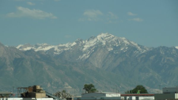
As we drove out of Salt Lake City we were impressed with the
amount of Snow still capping the mountains around the city. |
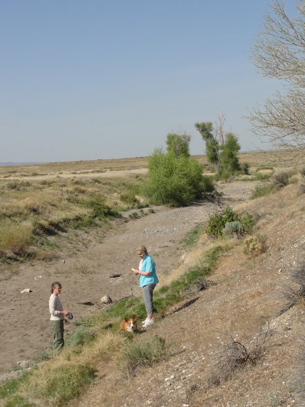
On our way to Craters of the Moon we stopped at a small rest
area next to Lost River. The information panel reported
that it is dry now due to its use as irrigation, but when it has
water in it, it runs 14 miles from here and then goes under the
lava flows for 120 miles and then re-immerges as numerous
springs that flow to the Snake river. |
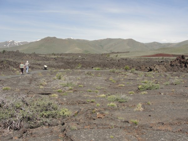 This
and the next two slides are an attempt to show the expanse of
the lava flow. You can see where it flowed for miles from
where we were standing. This
and the next two slides are an attempt to show the expanse of
the lava flow. You can see where it flowed for miles from
where we were standing. |
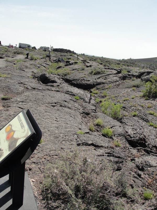
This is on the trail leading out to the parts of the Lava flow
open to the public, looking back to the parking lot. You
can see how the flow rises and falls, and also the ridges in it. |
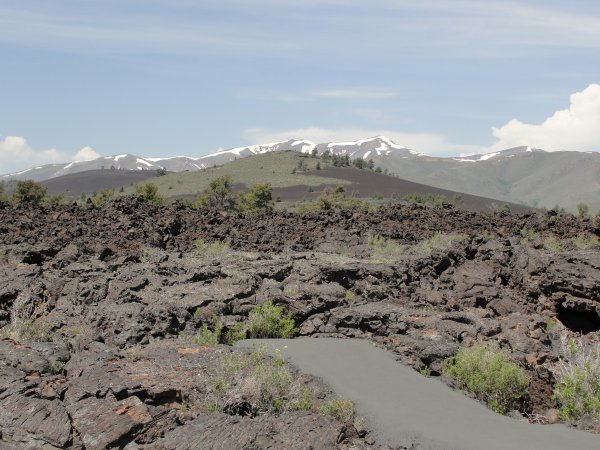
This shows the flow from an older cone coming toward us. |
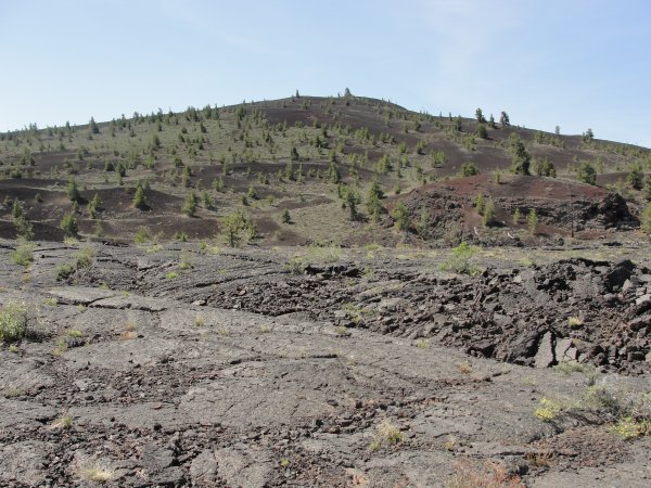
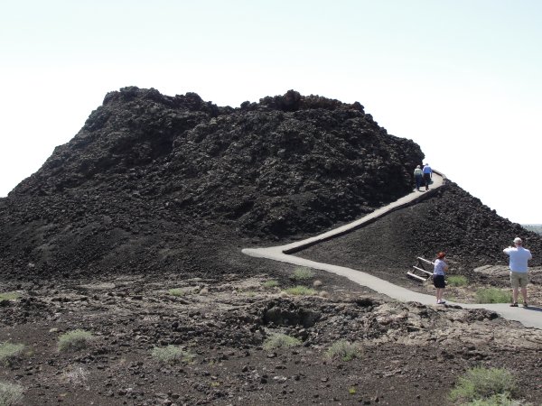
This is a "new" cone. It is not highly eroded and there is
little vegetation growing on it. There were 8 eruption
periods from about 15,000 years ago until 2000 years.
The mass of magma which created this is what is now beneath
Yellowstone. |
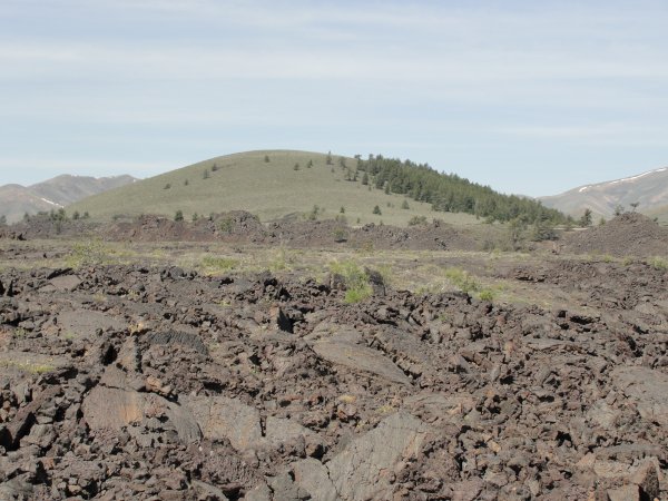
This is an "older" cone. there is much more vegetation,
the evergreen trees are larger an erosion has worn it down a bit
so it's appearance is rounded a bit more. |
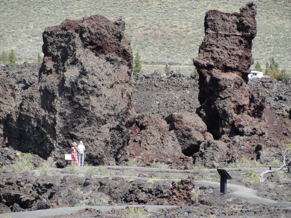
When a cone erupted a second (or later) time, pieces of the
original cone would break loose and be carried "down stream" by
the lava flow. These two piece stand about 70 feet tall. |
As the lava flowed, it would cool and solidify on the surface
but continue to flow underneath. When the eruption ceased
the lava would continue to flow for a while, leaving hollow
tunnels under what had solidified.
The weight of the lava would cause it to collapse, forming what
is called a cave, but is really an entrance into the tunnel.
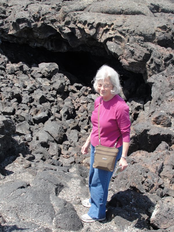
Sandra is standing in front of the tunnel named "Dewdrop."
This was the largest of the three open to the public. |
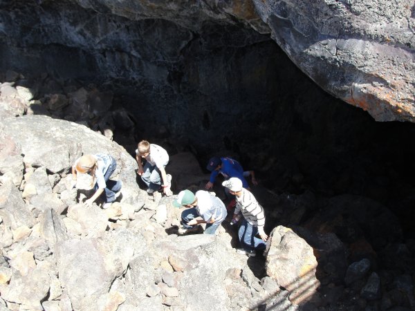
There were several groups of students on "field trips" there.
This is taken from above the entrance to the tunnel. |
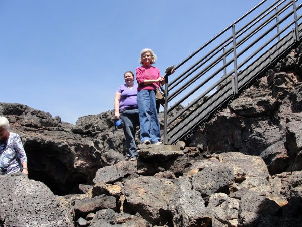
There was a stairway going part of the way into the tunnel.
Sandra wouldn't go much further.
|
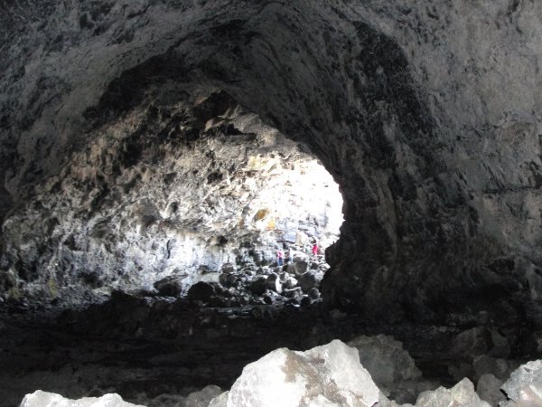
This is taken from inside the tunnel looking back to the
entrance. If you look closely you can see Sandra's pink
sweater. That's as far as she would venture. |
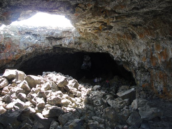 I
took this picture with my back to the entrance. You can
see the opening where another portion of the tunnel had
collapsed and the debris from the collapse on the floor.
You can see some of the students from the field trip further in
the tunnel and a bit of light where there was another collapse. I
took this picture with my back to the entrance. You can
see the opening where another portion of the tunnel had
collapsed and the debris from the collapse on the floor.
You can see some of the students from the field trip further in
the tunnel and a bit of light where there was another collapse. |
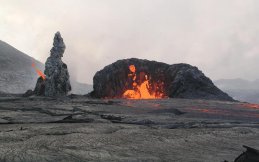
As the eruption waned, spatter cones would develop like the one
pictured that is active in Hawaii. |
This is a spatter cone at Craters of the Moon. the next
slide shows you the cavity of the cone which is on the opposite
side of the cone, where the walkway takes you. |
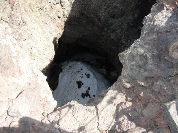
This is looking down into the spatter cone's cavity.
That's snow that you see, it never melts because the sun doesn't
hit it.
For a short video to give
you an idea of the expanse of the lava flow, click here. My
video. |
And that completes your tour of Craters of the Moon National
Monument. From there it was on to Yellowstone. Before you move
on to the tour of Yellowstone proper, check out the wildlife we
saw by clicking on the Wildlife tab below.
|