|
|
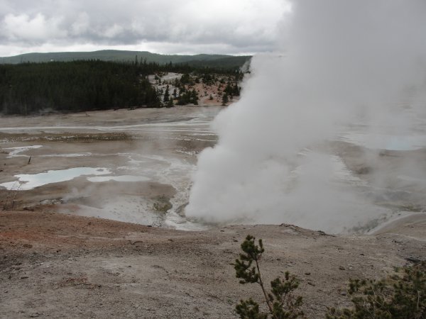
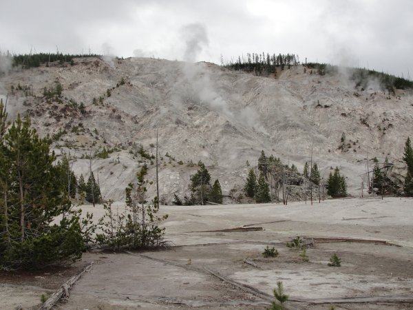
Turn left at Madison junction (north) and the first stop is Norris Geyser
Basin. In the picture you can see it running off in the distance. |
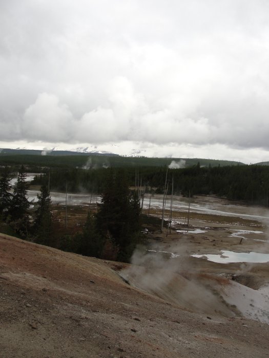
This is another view, neither do it justice.
I tried to take a video of it with my camera but it didn't work well so
I went looking on the internet and found a really good video of it.
I've put the link below.
To get a good impression of the size of the basin you only need to watch this video on YouTube.
Click here for 1
minute Video
|

This is Emerald Spring.
The next stop going north.
The green color is caused by the reflection of blue from the minerals
and yellow from the sulfur. |
This is roaring mount, pretty close to the north bound route. It
doesn't roar all that much anymore, but when it was named the steam
escaping from the vents "roared."
The sulfuric acid coming out of the vents is converting the rock to
clay. |
This is Golden Gate, named for the color of the rock on the cliff.
Early in the history of the Park this was wooden and very steep, so
steep the cargo would often fall out the back of the wagons. |
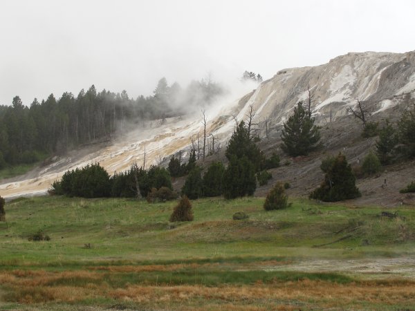
The northernmost feature of the park is Mammoth Springs.
This is a picture of the runoff from the springs above. It's what you
see before you move on to the parking facility. |
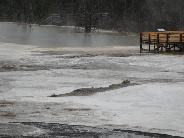
Here are the springs themselves. At one time there was a pool here
with hot water that was referred to as a bath where tourist swam.
It had dried up since.
|
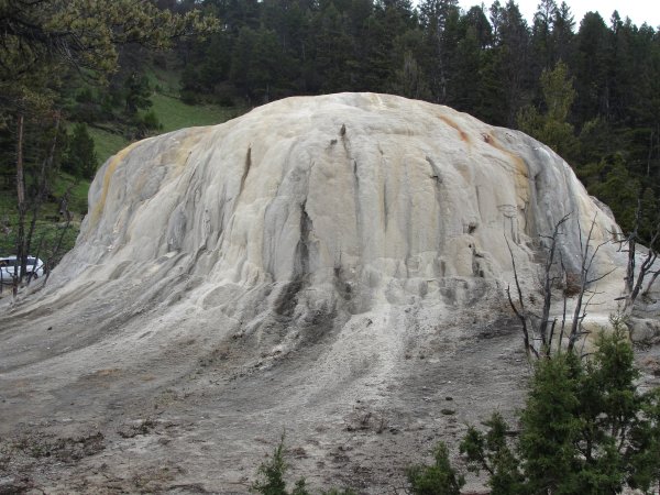
This, if memory serves me, is part of Mammoth Springs. It's called
Orange Spring because of the orange streaks present in it. You
have an idea of the size by comparing it with the car off to the side. |
| |
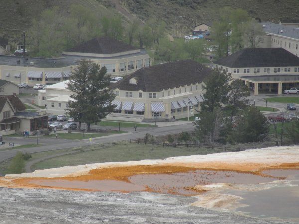
This is Fort Yellowstone, the picture is made from the top of Mammoth
Springs zooming it, it's not nearly as close as it appears in the
picture.
In 1872 the fort was established provide housing for soldiers sent to
protect the park from poachers and other forms of abuse. Now it is
administrative headquarters for the park and housing for employees. |
And that's the North Loop, not nearly as many geysers, but certainly
different features. To continue click on the East Loop. |